Log in
All resources
Create a design
1,126 Free Images of Charts And Maps
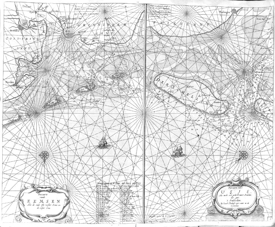
maps in the rijksmuseum amsterdam
17th-century celestial maps
18th-century celestial maps
maps by gerard valck
gerard valck
prints published by pieter schenk (i)
cartography
engraving
grabados
cartografía
cartography
maps
cartography
maps
16th-century maps of lisbon
1580s maps of portugal
pacific ocean in art
ships on maps
lawrence h. slaughter collection of english maps, charts, globes, books and atlases
nypl lionel pincus and princess firyal map division
cartography
maps
cartography
maps
cartography
maps
imperial war museum first world war artwork
francis dodd
daniel de la feuille
1706 maps of italy
cartography
maps
cartography
maps
cartography
maps
cartography
maps
cartography
maps
cartography
maps
cartography
maps
lawrence h. slaughter collection of english maps, charts, globes, books and atlases
atlas novus (blaeu)
lawrence h. slaughter collection of english maps, charts, globes, books and atlases
atlas novus (blaeu)
lawrence h. slaughter collection of english maps, charts, globes, books and atlases
atlas novus (blaeu)
18th-century maps of the indian ocean
guillaume dheulland
cartography
maps
clarity pack
chart
outlined
badge
cartography
maps
clarity pack
alert
clarity pack
badge
cartography
maps
cartography
maps
1650s maps of the atlantic ocean
joan blaeu
august kneisel
east prussia
cartography
maps
french-language maps
daniel de la feuille
maps of the dutch east india company - south africa
casparus lootsman
historical
history
historical
history
illustration
maps
maps in the rijksmuseum amsterdam
johannes leupenius
general charte der in den herzoglich bremen - und verdenschen aemtern und gerichten ottersberg, osterholtz, lilienthal, bremervörde, rotenburg und achim belegenen mööre, und der seit 1750 darin... - btv1b531196435
bibliothèque nationale de france
ismailïa. a narrative of the expedition to central africa for the suppression of the slave trade (1874)
diagrams, plots and charts from the british library mechanical curator collection
baroque painting
animals on maps
general charte der in den herzoglich bremen - und verdenschen aemtern und gerichten ottersberg, osterholtz, lilienthal, bremervörde, rotenburg und achim belegenen mööre, und der seit 1750 darin... - btv1b531196435
bibliothèque nationale de france
general charte der in den herzoglich bremen - und verdenschen aemtern und gerichten ottersberg, osterholtz, lilienthal, bremervörde, rotenburg und achim belegenen mööre, und der seit 1750 darin... - btv1b531196435
bibliothèque nationale de france
general charte der in den herzoglich bremen - und verdenschen aemtern und gerichten ottersberg, osterholtz, lilienthal, bremervörde, rotenburg und achim belegenen mööre, und der seit 1750 darin... - btv1b531196435
bibliothèque nationale de france
cartouche (cartography)
nicholas tindal
media contributed by university of illinois urbana-champaign university library
tranquillo mollo
navigantium atque itinerantium bibliotheca
1744 fleurons
van langren map of southeast asia
renaissance
17th-century maps of the mediterranean sea
portolan charts made in the 17th century
maps in the rijksmuseum amsterdam
17th-century celestial maps
maps by emanuel bowen
1744 fleurons
old maps of the strait of gibraltar
maps in the rijksmuseum amsterdam
historical
history
maps by emanuel bowen
1744 fleurons
18th-century maps of england and wales
chorographia britanniae (1741-1742)
maps in the rijksmuseum amsterdam
17th-century celestial maps
chartae orarum marinarum partim normandiae, partum britanniae, et insularum circa eas sitarum - lucas io(ann)es aurigarius inventor ; ioannes a doetecu. fecit - btv1b531567357
bibliothèque nationale de france
maps in the rijksmuseum amsterdam
maps by frederick de wit
chartae orarum marinarum partim normandiae, partum britanniae, et insularum circa eas sitarum - lucas io(ann)es aurigarius inventor ; ioannes a doetecu. fecit - btv1b531567357
bibliothèque nationale de france
chartae orarum marinarum partim normandiae, partum britanniae, et insularum circa eas sitarum - lucas io(ann)es aurigarius inventor ; ioannes a doetecu. fecit - btv1b531567357
bibliothèque nationale de france
battle of the nile
cooper willyams
lucas janszoon waghenaer
1588 maps of norway
maps in the rijksmuseum amsterdam
17th-century celestial maps
maps in the rijksmuseum amsterdam
17th-century celestial maps
etchings in the rijksmuseum amsterdam
maps in the rijksmuseum amsterdam
hms chanticleer (ship, 1808)
john heaviside clark
printing
maps
maps in the rijksmuseum amsterdam
17th-century celestial maps
maps in the rijksmuseum amsterdam
17th-century celestial maps
maps in the rijksmuseum amsterdam
17th-century celestial maps
navigantium atque itinerantium bibliotheca
1744 fleurons
zee custe van sweeden, ontrent de westerwijck, ende tgatt vann stockholm, beginnende van kalmar tot den wigsteen en rookoe gelegen bynnen tgatt van stockholm alsoe hem tlandt daer verthoont - doer lucas... - btv1b53235860x
bibliothèque nationale de france
zee custe van sweeden, ontrent de westerwijck, ende tgatt vann stockholm, beginnende van kalmar tot den wigsteen en rookoe gelegen bynnen tgatt van stockholm alsoe hem tlandt daer verthoont - doer lucas... - btv1b53235860x
bibliothèque nationale de france
zee custe van sweeden, ontrent de westerwijck, ende tgatt vann stockholm, beginnende van kalmar tot den wigsteen en rookoe gelegen bynnen tgatt van stockholm alsoe hem tlandt daer verthoont - doer lucas... - btv1b53235860x
bibliothèque nationale de france
maps in the rijksmuseum amsterdam
17th-century celestial maps
maps in the rijksmuseum amsterdam
17th-century celestial maps
maps in the rijksmuseum amsterdam
17th-century celestial maps
maps in the rijksmuseum amsterdam
17th-century celestial maps
1740s maps of the americas
1747 maps of north america
maps in the rijksmuseum amsterdam
emrik & binger
maps in the rijksmuseum amsterdam
17th-century celestial maps
maps in the rijksmuseum amsterdam
17th-century celestial maps
maps in the rijksmuseum amsterdam
17th-century celestial maps
maps in the rijksmuseum amsterdam
17th-century celestial maps
maps in the rijksmuseum amsterdam
17th-century celestial maps
maps in the rijksmuseum amsterdam
17th-century celestial maps
etchings in the rijksmuseum amsterdam
carolus allard
maps in the rijksmuseum amsterdam
17th-century celestial maps
maps in the rijksmuseum amsterdam
17th-century celestial maps
maps in the rijksmuseum amsterdam
17th-century celestial maps
maps in the rijksmuseum amsterdam
david coster
les forces de l'europe, asie, afrique et amerique, ou description des principales villes, avec leurs fortifications
maps of the history of poitou
streets
traffic
maps in the rijksmuseum amsterdam
17th-century celestial maps
maps in the rijksmuseum amsterdam
17th-century celestial maps
maps in the rijksmuseum amsterdam
17th-century celestial maps
maps in the rijksmuseum amsterdam
17th-century celestial maps
maps in the rijksmuseum amsterdam
17th-century celestial maps
maps in the rijksmuseum amsterdam
17th-century celestial maps
maps in the rijksmuseum amsterdam
17th-century celestial maps
1001 - 1100 of 1,126
Next page
/ 12


![Charter of North America: to Arrowsmith; v. Humboldt and other reliable aids / designed by Joseph Dirwald[t], Tranquillo Mollo, 1819](https://cdn.creazilla.com/illustrations/10001323555/charter-of-north-america-to-arrowsmith-v-humboldt-and-other-reliable-aids-designed-by-joseph-dirwaldt-tranquillo-mollo-1819-md.jpg)